Old Alaska Highway Trail
The Old Alaska Highway Trail at Muncho Lake is associated with two historic themes of relevance to the Alaska Highway Corridor nomination:
♦ Engineering achievement and North American strategic cooperation
♦ Half century of continuity and accelerated change
Description of the Site
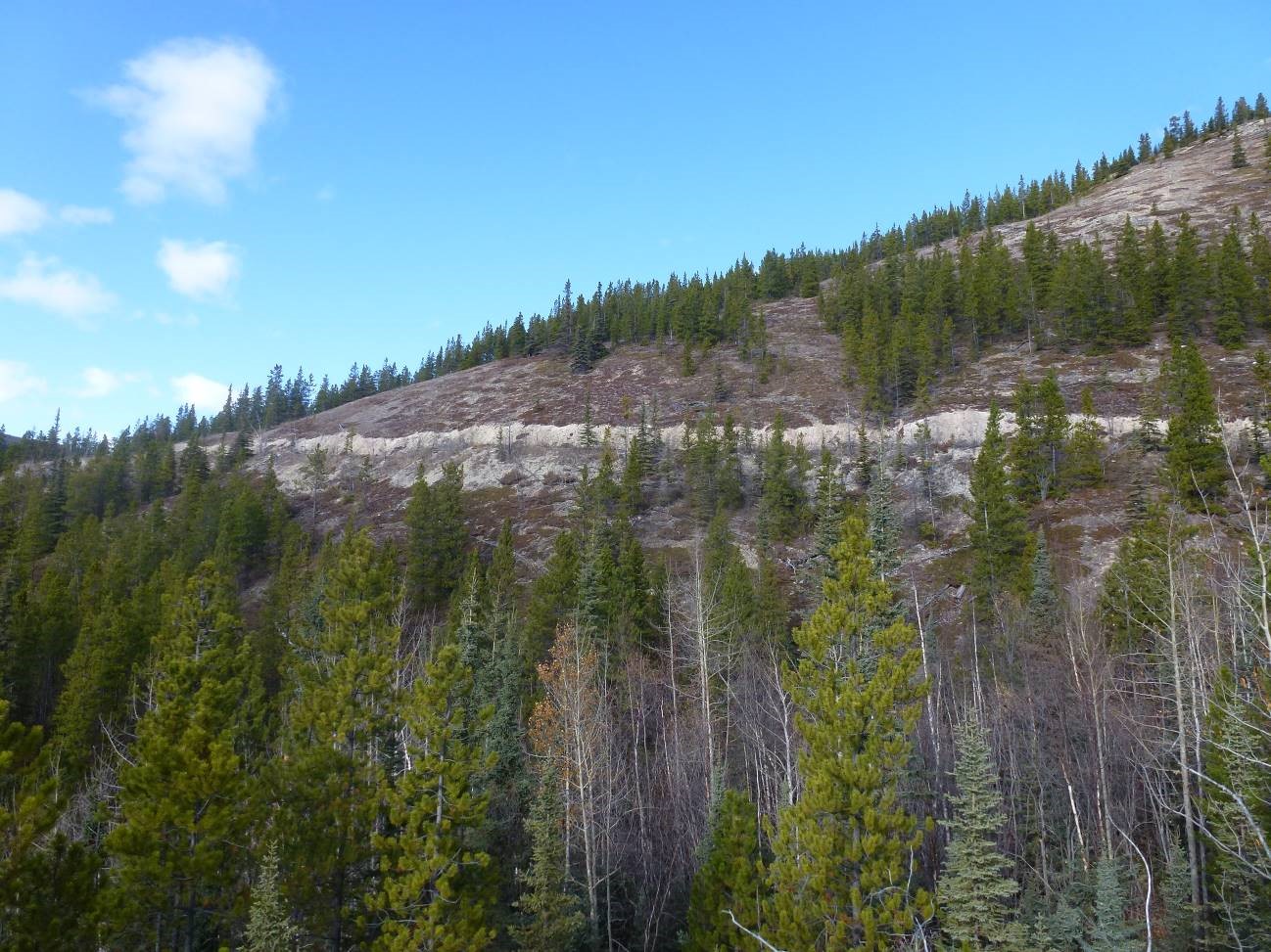
The Old Alaska Highway Trail begins near the Strawberry Flats campground in Muncho Lake Provincial Park, 249 km northwest of Fort Nelson. The trail follows part of the original 1942 Army pioneer road and is 4 km round-trip. Additional interpretation sites are found nearby, including a pullout with a Province of BC Alaska Highway 50th Anniversary Celebration Society interpretive panel, and a memorial panel for Ernie Birkbeck and HMP 463.
 “Blasting operations beside Muncho Lake, British Columbia.”
Credit: The Glenbow Museum, Image no. NA-1796-32.
History
In the Kaska language, Muncho translates to “Big Lake.” Flanked by the Sentinel Range to the east and the Terminal Range to the west, Muncho Lake is 12 km long and varies in width from 1 to 6 km. The area is known for its opportunities to view stone sheep, moose, mountain goat, and caribou. Muncho Lake is also a congregation area for migrating birds, and various types of fish are found in the waters.
Archaeology has shown that the area was occupied for thousands of years. The Kaska-Athabaskan families in the area include the MacDonald family, who continue to use the area, especially near Moose Lake. European discovery of the area occurred in the late 1800s, when trappers, traders, and explorers passed through the area.
 “Horses were used on this section of road along Muncho Lake to haul away the blasted rock.”
Credit: National Archives, Washington DC.
With the decision to construct the Alaska Highway made in March 1942, the initial task of developing a rough, passable road – a pioneer road – from Dawson Creek, BC to Fairbanks, Alaska fell to the US Army Corps of Engineers. Faced with tight deadlines, when the Army construction crews reached the Muncho Lake area, they decided to go up and over the mountainous landscape. This road followed a pack horse trail which is said to date to the 1898 gold rush. Today, the Old Alaska Highway Trail follows a section of this original pioneer road.
The original pioneer road was more of a bulldozed trail, and within the Muncho area specifically, the grades were too steep, proving impassable for regular transport. As later responsibility for the construction of a two-lane road fell to the US Public Roads Administration, they opted to cut their way through the lake’s rocky banks using horse-pulled stone boats to haul away the rock – this route forms the current highway.
Remains of construction camps can be found at Drogheda Lake and at the north end of Muncho Lake. Examples of surviving wooden culverts, corduroy roads and other former alignments now used as hiking trails are also found in the area.
Also see our History of the Alaska Highway Corridor for more information on the construction of the Alaska Highway.
Read More